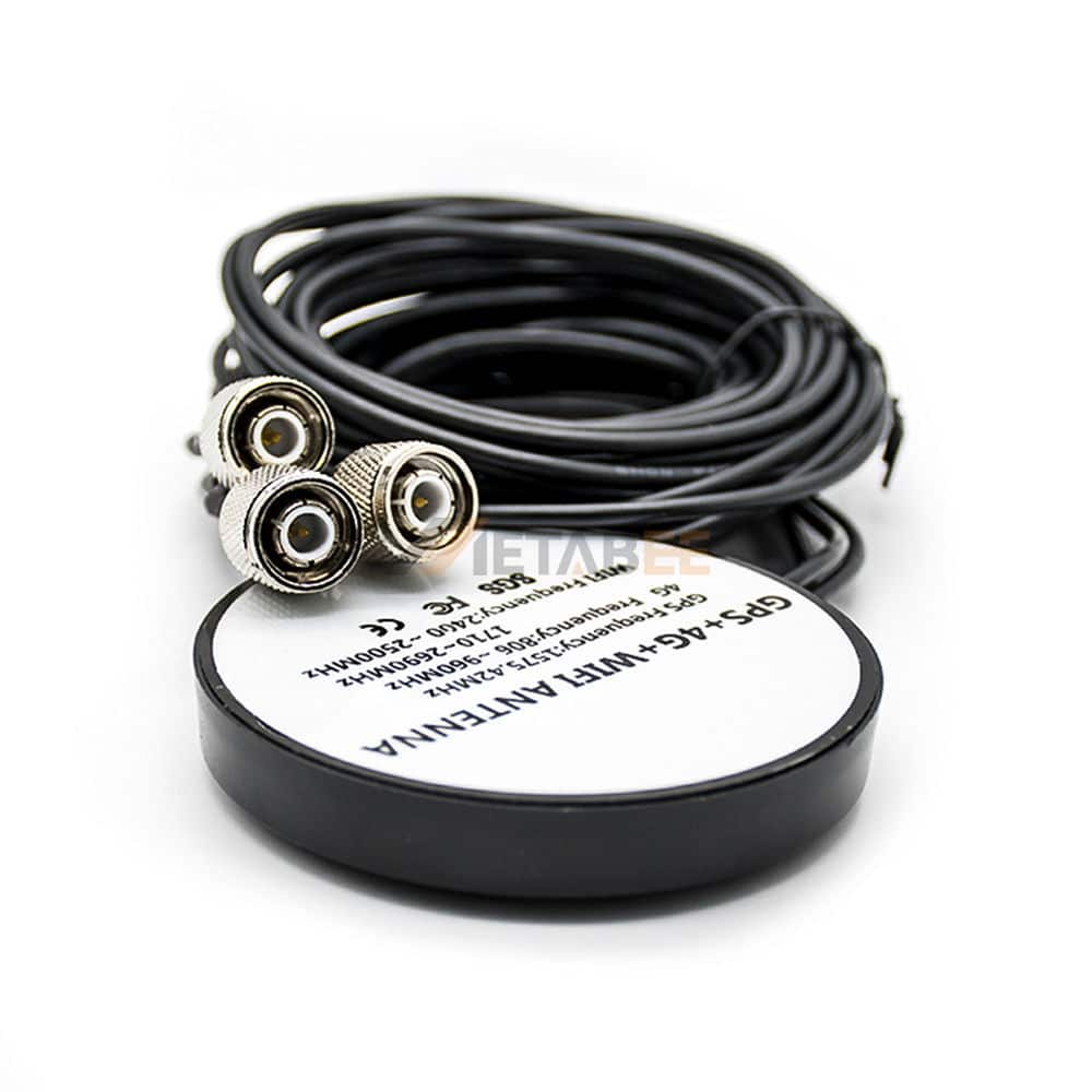
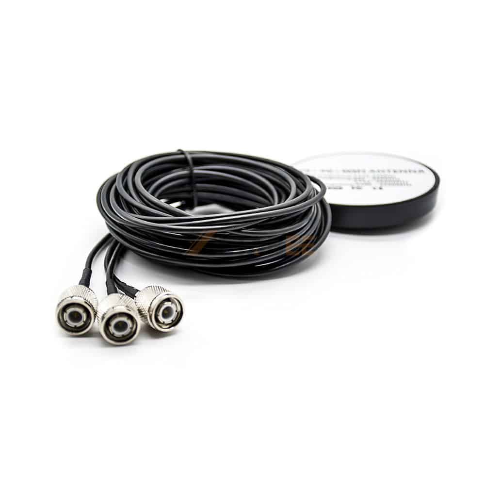
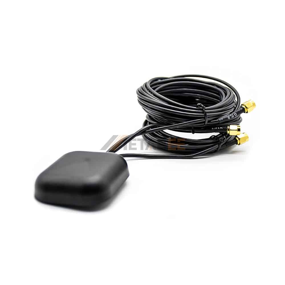
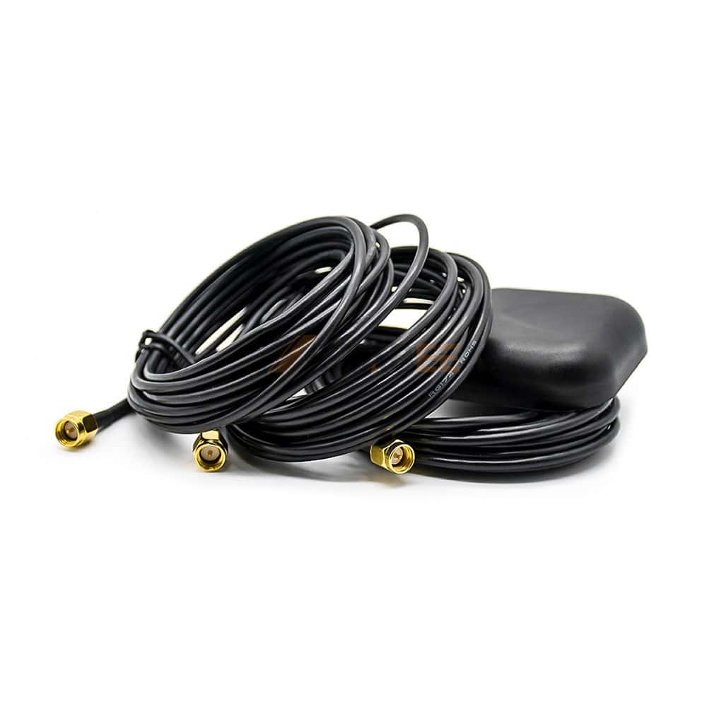
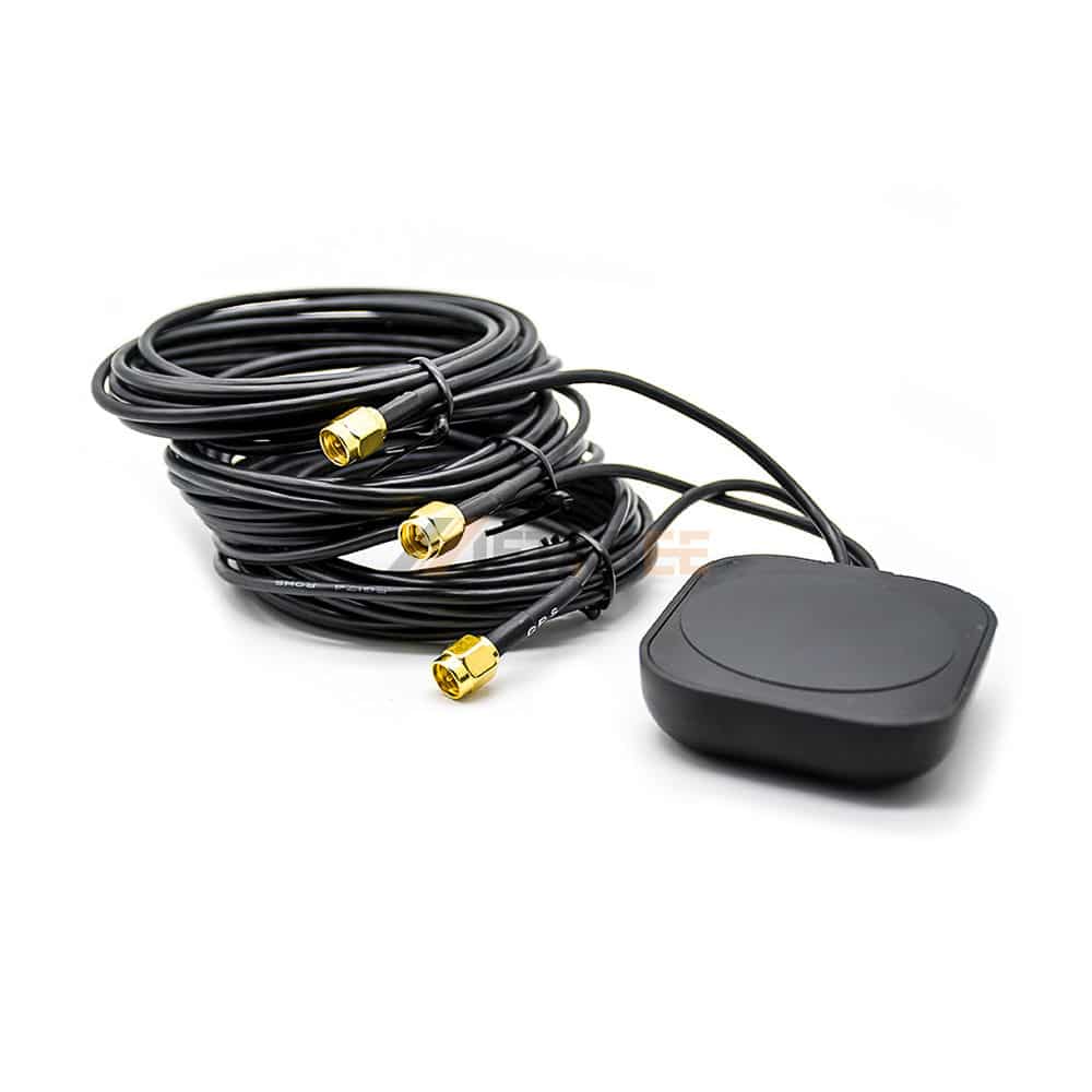
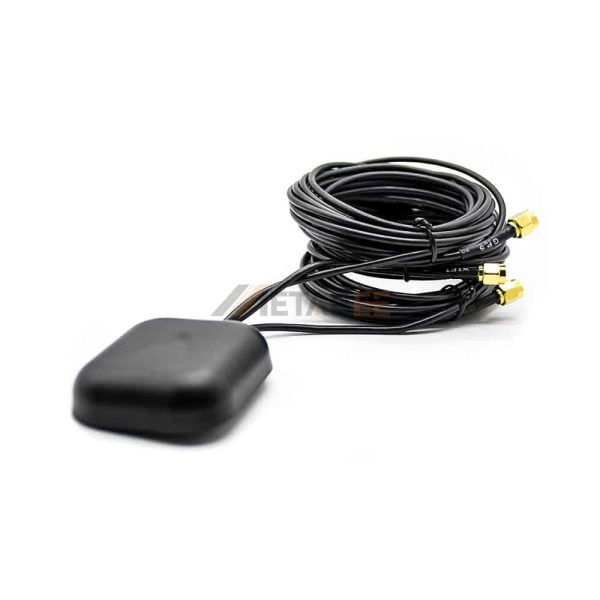
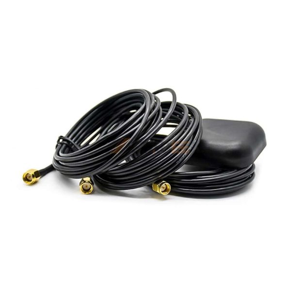
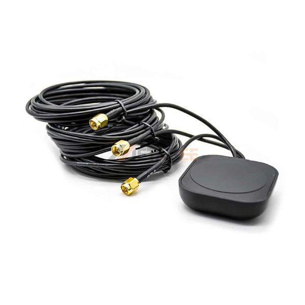
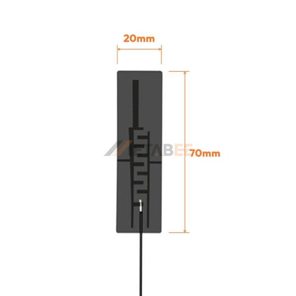
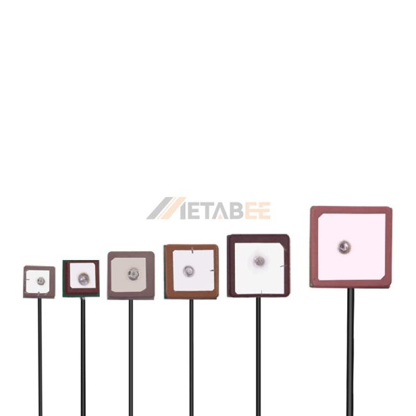
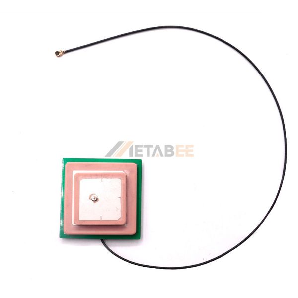
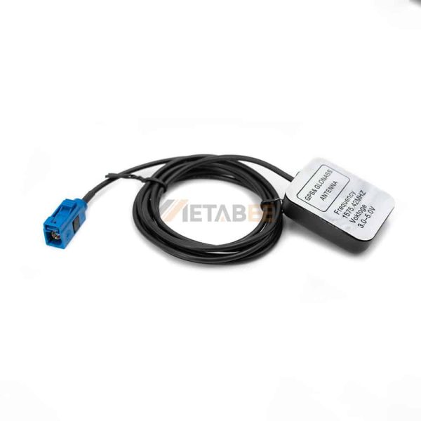
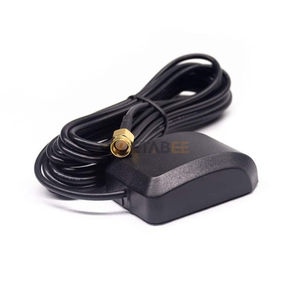
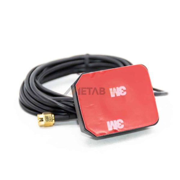
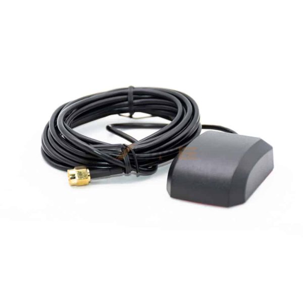
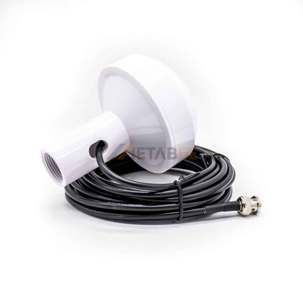
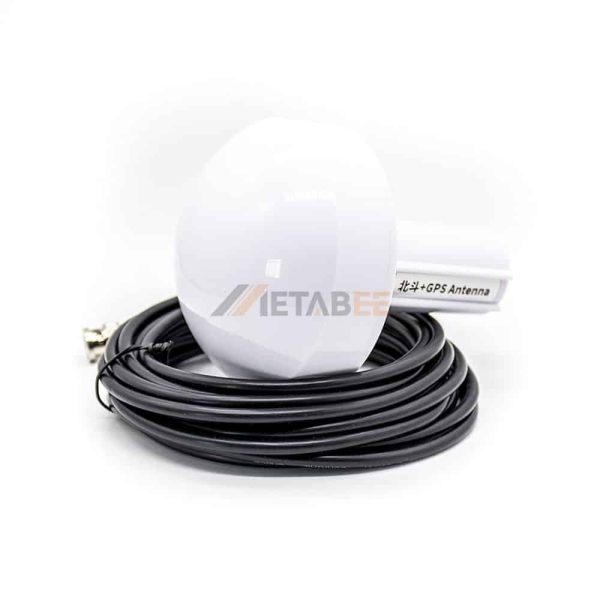
Combo antennas mainly involve GPS/GSM antenna, GPS/VHF antenna, GPS/GLONASS/GSM antenna, GPS/GLONASS/VHF antenna, GPS/GSM/WiFi antenna, GPS/DVBT antenna for marine or vehicle locating using.
The combined antenna can combine multiple antenna oscillators of different or the same functions in one antenna cover, and complete multiple antenna module functions through a single antenna, thus saving space and cost, and can better meet the market demand.
A GPS combo antenna is a type of antenna that is designed to receive GPS signals as well as other types of signals, such as cellular, Wi-Fi, and satellite radio signals.It typically provides multiple outputs, such as GPS, cellular, Wi-Fi, and satellite radio signals, which can be connected to multiple devices simultaneously.

Products Feature
The primary application of GPS Combo antennas is in navigation and positioning systems, where they can be used for a variety of purposes, including:
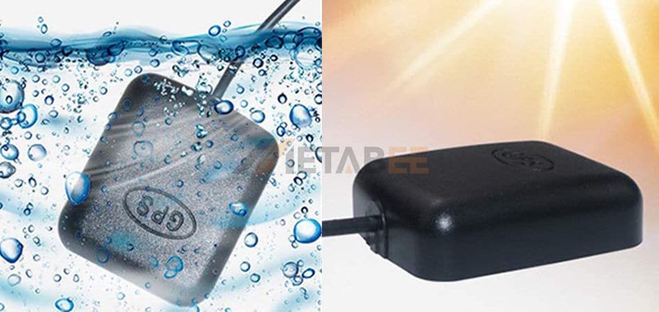
Waterproof Construction
Our GPS external antenna is constructed with premium quality waterproof material. you can use this device in any weather condition.
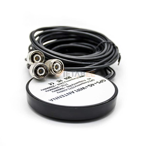
GPS + 4G + WiFi
The GPS combo antenna is designed to operate over a wide frequency range, typically including GPS L1 and L2 bands (1575.42 MHz and 1227.60 MHz), cellular frequencies (700 MHz to 2700 MHz), Wi-Fi frequencies (2.4 GHz and 5 GHz), and satellite radio frequencies (2320 MHz to 2345 MHz).
28dBi High Gain
A higher gain antenna can provide better signal reception in areas with poor satellite coverage or in environments with high levels of interference.
RF Series Interface
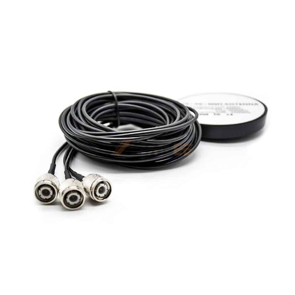
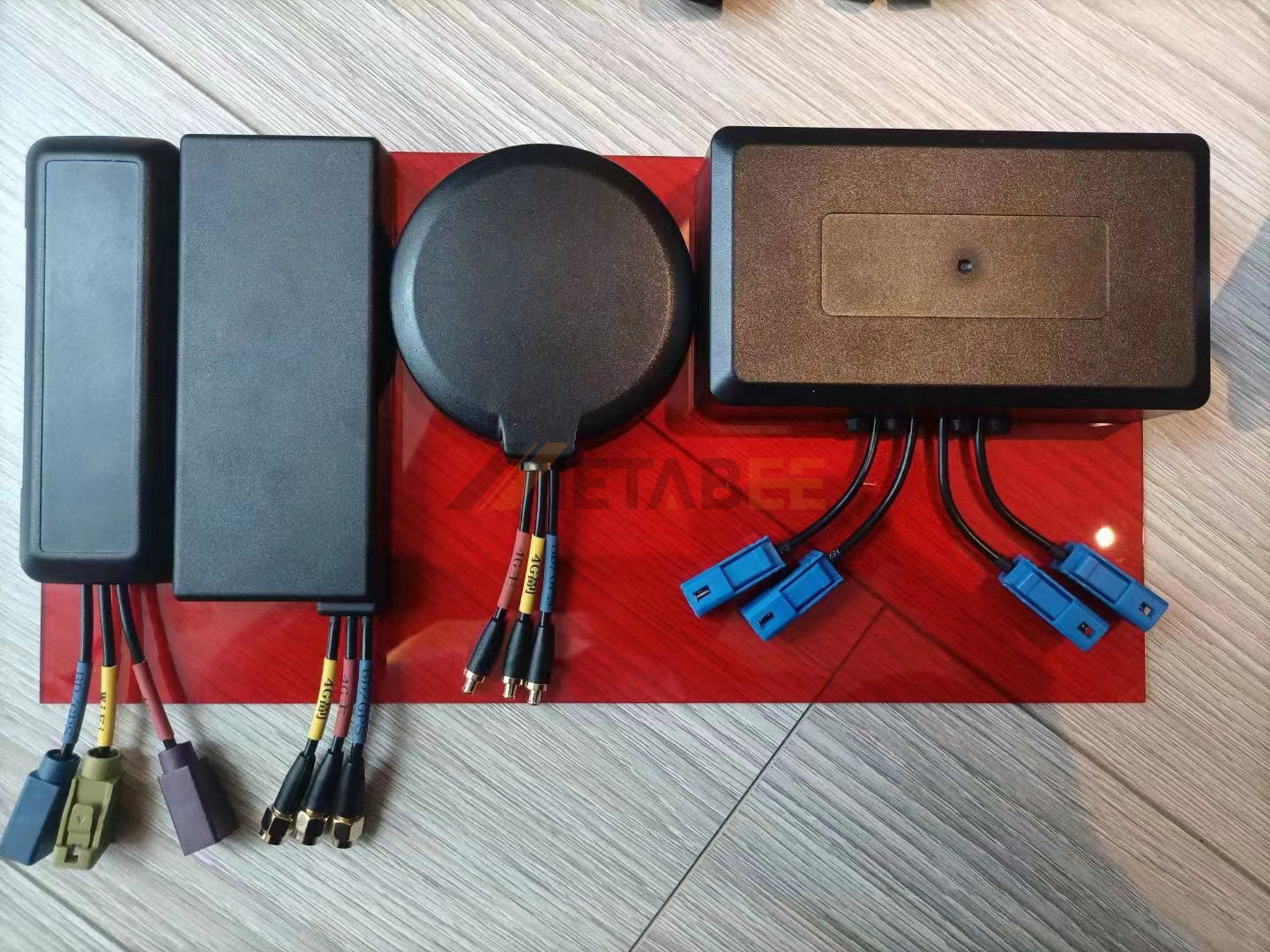
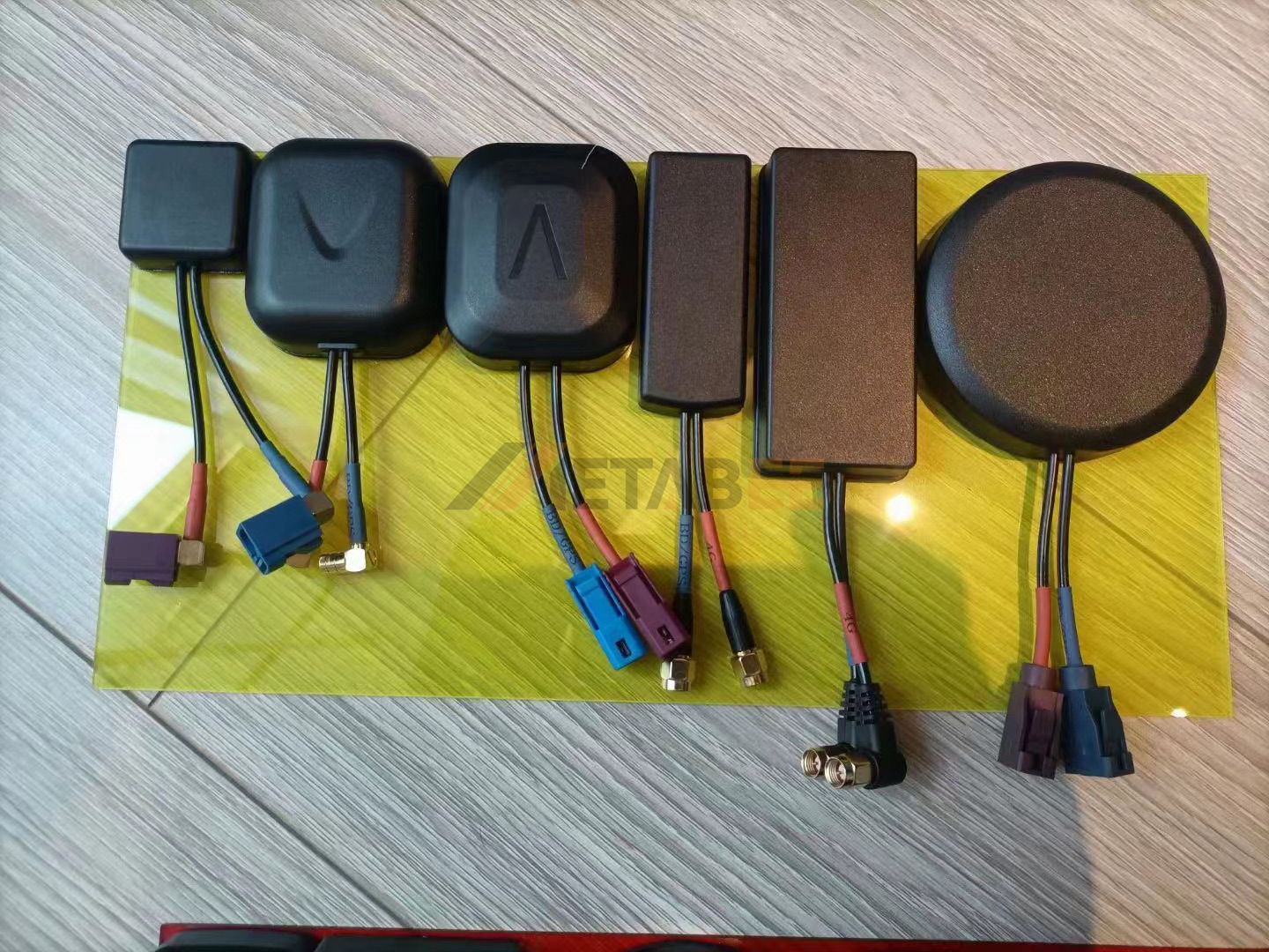
Rigorous production of international standards, optional SMA、BNC、TNC、Fakra connector.
Application
The primary application of GPS Combo antennas is in navigation and positioning systems, where they can be used for a variety of purposes, including:

Vehicle Tracking and Fleet Management: It is commonly used in vehicle tracking systems, enabling real-time tracking of vehicles and providing information about their location, speed, and direction.
Surveying and Mapping: It can be used for land surveying and mapping, allowing surveyors and cartographers to accurately measure distances and locations.
Agriculture: It is used in precision agriculture applications, enabling farmers to optimize crop yields by using location-based data to guide planting, fertilizing, and harvesting activities.
Agriculture: It is used in aviation for navigation and landing systems, allowing pilots to accurately navigate and land their aircraft.
